Can we play a travel geography game without phones?
Yes. Prepare a short country-capital list and a printed map before departure. Take turns asking questions and use the reference to check answers.
For travellers
A journey gives geography an immediate purpose: understanding where you are going. Before departure or during a quiet wait, choose your destination and turn it into a few questions about countries, capitals, and flags. GeoCapitals offers short geography practice on iPhone and iPad to build on that curiosity.
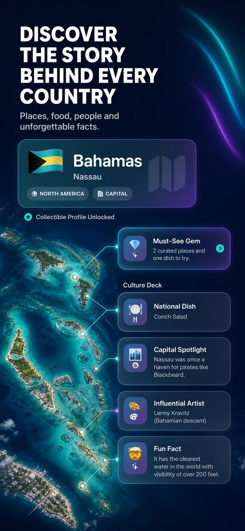
Find your destination country on a map and name its capital. Then look at neighbouring countries or nearby islands. Choose a few places connected to your route and write them in a note. That small selection becomes a travel study list you can revisit before and during the trip.
Be precise about the question. The city you are visiting may not be the national capital, and a famous landmark may be far from your route. Use a current map or travel reference to check practical details.
For solo play, cover the answers in a note and check them after each round. Keep mistakes in the next round instead of starting a completely new list.
Give each person a different role: question reader, map finder, or answer checker. Younger children can describe a flag while older learners name the capital. A shared aim, such as explaining three new places to one another, gives everyone a contribution without requiring the same reading level.
Invite questions beyond the score. Which place would you like to learn more about? Which names are new to you? Save interesting questions for a book, a map, or a conversation when there is more time.
GeoCapitals combines capital quizzes, flags, map challenges, and country Atlas cards on iPhone and iPad. Explore a place before a trip or use a short practice session during a station or airport wait. Country context can give you new questions to investigate as you travel.
Before relying on any app during a journey, try the modes you want to use and check your access and connection needs. For a screen-free backup, save or print a flags study sheet or a relevant capitals reference before leaving.
After the trip, return to your list and try the questions again. Add a personal note about a place you visited or a flag you noticed. Use that memory as a prompt to look up another country nearby. A travel game can become a starting point for your next geography session.
If you enjoy the routine, explore daily geography practice or our beginner’s guide for adults.
GeoCapitals is an iPhone and iPad option for practising countries, capitals and flags before a trip. Its combination of quizzes, map challenges and Atlas context fits this routine. The free download has limited starter access; most modes and the full Atlas require optional Pro. Check the current App Store description for access and compatibility.
Try ten minutes a day with the countries connected to your own trip. This is a suggested routine, not a promise to master Europe in a week.
Start with the European capitals reference, the Balkan flag and map starter or the Slovakia–Slovenia comparison. App modes and these website exercises are separate tools; the website plan is not automatically transferred into the app. Check connection requirements before relying on a mode during travel.
Start with your own destination list. For each stop, write the country, its capital and one neighbouring country. Then put those countries on the same map. A country may cover much more ground than its position on a small screen suggests; use geography practice to get oriented before planning individual journeys.
For a ready-made countries quiz for travellers, try Going to the Balkans? A five-minute geography starter. Meet eight countries, then identify them by flag or map location. You can also use its map and country cards as a paper game with a travel companion.
Take three cities from your plans and connect them to their countries. For a geography example, Ljubljana is in Slovenia, Zagreb is in Croatia and Budapest is in Hungary. Name the capitals, then locate the three countries without labels. Add a neighbouring country to each answer.
This exercise describes places, not a train itinerary. Use the official Interrail railway map and current timetables to check services and reservations. For extra country-capital practice, use the European capitals study sheet.
Start with all eleven countries in the UN South-eastern Asia grouping: Brunei, Cambodia, Indonesia, Laos, Malaysia, Myanmar, the Philippines, Singapore, Thailand, Timor-Leste and Vietnam. Then pick the ones connected to your trip rather than treating the region as one destination.
On a map, trace Myanmar, Thailand, Laos, Cambodia and Vietnam on the mainland. Then locate Malaysia and Singapore and compare the island geography of Indonesia, the Philippines, Brunei and Timor-Leste. Malaysia spans the Malay Peninsula and part of Borneo, so “mainland or island” is not a clean division for every country.
Ask three questions: Which country is this? What lies beside it? What is its capital? Check regional membership with the UN regional list and practise selected capitals using the Asian capitals study sheet.
Build a twelve-country checklist: Argentina, Bolivia, Brazil, Chile, Colombia, Ecuador, Guyana, Paraguay, Peru, Suriname, Uruguay and Venezuela. French Guiana also appears on regional maps; it is part of France, not a thirteenth independent country.
Choose a map anchor before learning the whole list: Chile follows the Pacific coast; Brazil occupies much of the east; Bolivia and Paraguay are landlocked. Locate your destination, then add the countries beside it. For a quick game, one person names a country while the other names its capital and points to its location.
Use the Americas capitals study sheet to check answers. Pay attention to capital roles: Bolivia’s constitutional capital is Sucre, while La Paz is the seat of government. If your route includes both, connect each city to the role it actually has.
Yes. Prepare a short country-capital list and a printed map before departure. Take turns asking questions and use the reference to check answers.
Choose a few countries connected to your route and save or print a short reference before departure. Keep it handy for questions about capitals, flags, and map locations.

Practise with GeoCapitals on iPhone and iPad. The download includes limited starter access; most quiz modes and the full Atlas require an optional Pro subscription.