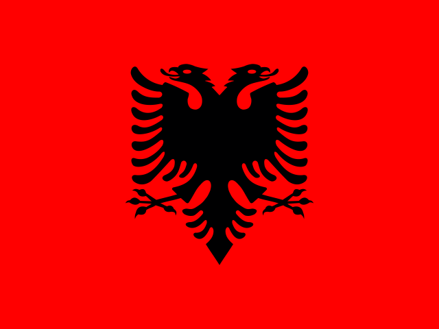
Map 01
Albania
Tirana
South of Montenegro, west of North Macedonia, with an Adriatic and Ionian coastline.
A little geography before you go
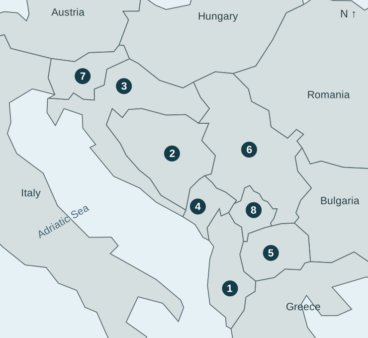
Meet eight countries through flags, capitals and a regional map. Then see whether you can identify all eight before your trip. Take a few minutes to get your bearings—there is no timer.
This is a selected travel-learning set, not every country sometimes included in the Balkans. It includes Slovenia and Croatia alongside the six places the EU groups as the Western Balkans. Kosovo is shown separately here; its independence is not universally recognised. Use the full name Bosnia and Herzegovina when naming the country.
Match the map numbers to the cards. The numbers are a study key, not an itinerary.
Map 01
Tirana
South of Montenegro, west of North Macedonia, with an Adriatic and Ionian coastline.
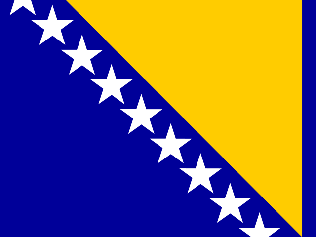
Map 02
Sarajevo
South of Croatia, west of Serbia and north of Montenegro.
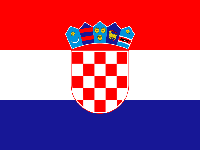
Map 03
Zagreb
South of Slovenia, curving along the Adriatic beside Bosnia and Herzegovina.
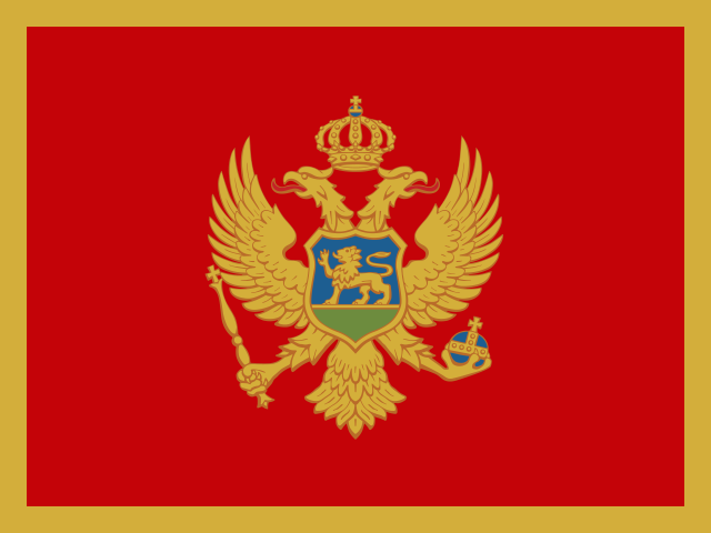
Map 04
Podgorica
On the Adriatic, north of Albania and south of Bosnia and Herzegovina.
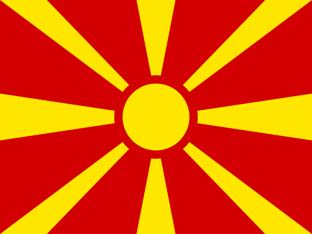
Map 05
Skopje
North of Greece, east of Albania and south of Kosovo and Serbia.
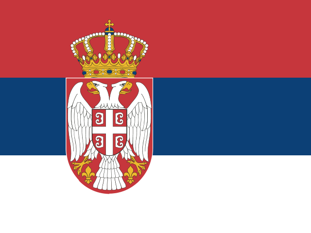
Map 06
Belgrade
South of Hungary, east of Bosnia and Herzegovina and west of Romania and Bulgaria.
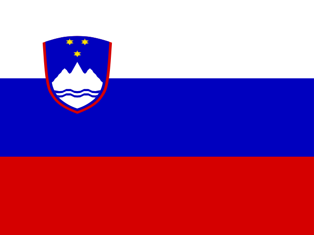
Map 07
Ljubljana
South of Austria, east of Italy and north of Croatia.
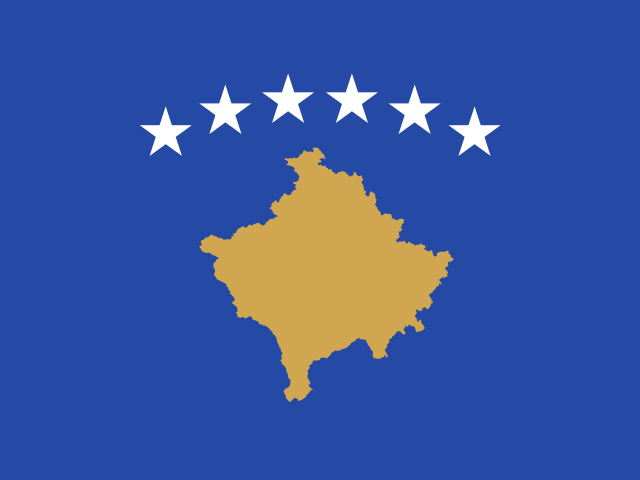
Map 08
Pristina
East of Montenegro, north of North Macedonia and northeast of Albania.
Your first region check
Choose flags or map locations. Each round asks about every country once, in a shuffled order. Explanations connect the answer to its capital and location.
Cover the country cards and identify map numbers 1–8. For a second round, ask a friend to say a capital from the cards and name its country. Give one point for a correct answer, then check the map together. Keep any missed countries for the next round.
You can print this page before leaving. The map numbers, country cards and answer key provide a simple screen-free reference. Close the answer key while practising. Learning these names is a starting point; a five-minute round does not establish long-term recall.
Choose a city from your plans and find its country first. Then name one nearby country and the country’s capital. The city you are visiting may be different from the capital: visiting Split, for example, does not make it Croatia’s capital; that is Zagreb.
Trace places relative to one another before thinking about travel times. Two countries sharing a border does not establish a usable train connection. Use current transport information for routes and bookings. This page helps with geographic orientation.
For the journey itself, try our geography games for travelling. If the names keep swapping, practise Slovakia vs Slovenia or read how to stop confusing countries. For more capitals, use the European capitals study sheet.
Keep exploring capitals, flags, map challenges and country Atlas cards with GeoCapitals for iPhone and iPad. Short sessions and review of missed answers give you a place to continue practising before or during a trip. Limited starter access is included; most quiz modes and the full Atlas require an optional Pro subscription.
Continue practicing in the appThe selection includes the EU’s six Western Balkan partners plus Croatia and Slovenia; it is not a definitive regional boundary. Country and capital references: UN geographical names dashboard. Maps use simplified public-domain Natural Earth boundaries. Flags use flag-icons illustrations in 4:3 display format (MIT licence).